Expertise
UAV, autonomy & robotics
Platforms, firmware, ground control and C2 on ROS2, communications and antenna tracking, perception, and embedded hardware.
What problems look like here
- Each use, from survey to agriculture to delivery, needs an aircraft set up for it.
- Links have to hold at range.
- Navigation has to keep working when GPS cannot be relied on.
- Several aircraft in one mission, each streaming telemetry to the ground.
What I built
Case studies
-
Custom UAV platforms
Multiple platforms across multirotor, VTOL and fixed-wing for survey and mapping, agriculture and point-to-point delivery, each integrated and customised from firmware to ground control.
-
UAV mission command and control on ROS2 and DDS
A custom command-and-control and ground-control system for multi-UAV missions, built on ROS2 with Fast-DDS, with encrypted links, imagery intelligence and an Electron ground-control station.
-
Long-range antenna tracking and multi-link communications
A directional ground antenna that stays locked on the aircraft from its live telemetry, with links over direct RF, 4G and WiFi and a satellite link designed for beyond-line-of-sight.
More work
- Window-cleaning drone Custom firmware that read the drone's sensors and generated its flight path at runtime. Stack: Firmware
- Perception and autonomy VIO for GPS-denied localisation, RGB-D and lidar SLAM, depth-camera obstacle avoidance and ArUco precision landing. Stack: SLAM / VIO
- Multi-tenant industrial IoT platform Broker-level MQTT, X.509 and JWT device authentication, OTA firmware and time-series telemetry. Stack: MQTT, X.509, JWT, OTA firmware
- Electronics & devices Built with my team: a smart lock, a GPS tracker and immobiliser, a rover and energy meters, and a self-built 3D printer. Stack: ESP32, Arduino, STM32, Raspberry Pi, PCB design, Firmware
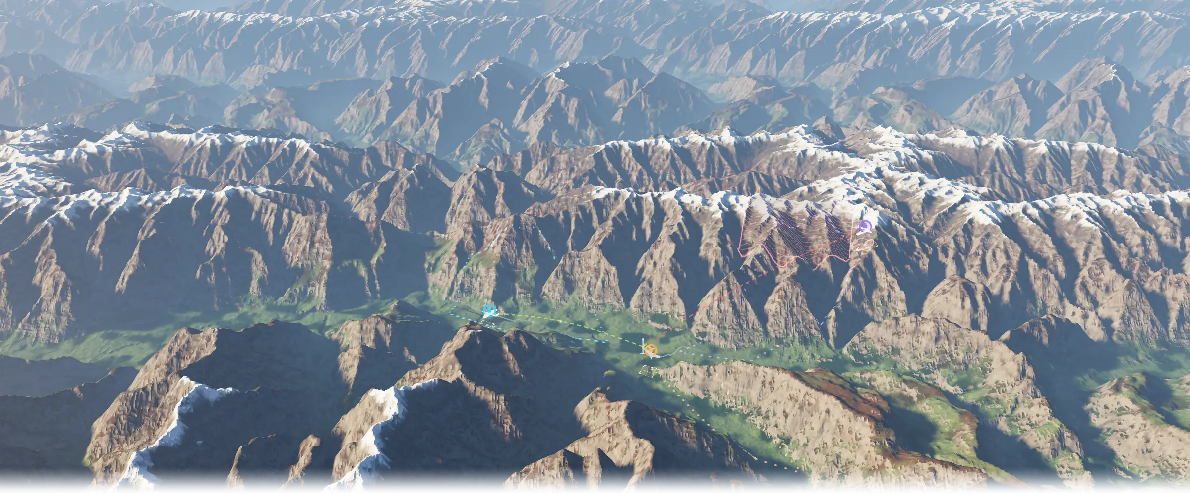
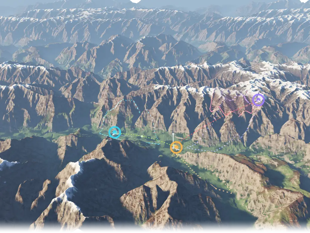
Terrain MULTI-UAV MISSION
- AIRCRAFT ON PLANNED ROUTES
- CAMERA FOOTPRINT
- GPS DENIED
- POSITION UNCERTAINTY
- GROUND STATION
- ENCRYPTED LINK
- LINK MASKED BY TERRAIN
Illustrative concept, not a product screenshot. Terrain: public Terrarium elevation tiles over the Karakoram, chosen for relief.
Patterns I use
-
Buy proven airframes and put the engineering into firmware, payloads, comms and ground control.
Used in Custom UAV platforms.
-
Custom firmware that reads its sensors and generates the flight path at runtime.
Used in Custom UAV platforms and Window-cleaning drone.
-
Point the ground antenna from the aircraft's own telemetry, relayed through ground control.
Used in Long-range antenna tracking and multi-link communications.
-
ROS2 over Fast-DDS as the backbone of the ground system.
-
Visual-inertial odometry and SLAM for localisation without GPS.
Used in Perception and autonomy.
Stack for this domain
Each links to its entry on the stack page.
Ask about this
What has he built in UAV and autonomy?
Answers come from the content on this site.
The chat needs JavaScript. Without it, ask through the contact page.